Geographical data
Geographical data are related to a location on the Earth and can often be presented as maps. Other names for geographical data are geodata, geospatial data or GIS data.
As a student or staff at Lund University, you have access to various licensed geographical data. But there are also many freely available resources. Use the left hand menus for more information.
Note that geographical data, in any form, are subjected to copyright laws. Make sure to always check for copyright information about any material you want to use. If it is not clearly stated that data/maps are not copyrighted, they ARE. See: Top 10 Copyright Myths from UK Copyright Service.
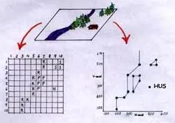
Geographical data can simply be described as locational data to which descriptive attributes have been linked. In digital format geographical features can be represented as a matrix (raster data) or as point, line and polygon coordinates (vector data).